The dreven
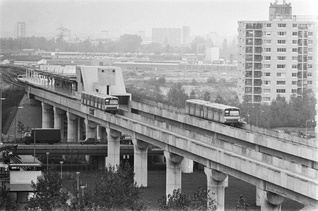
Right now you're walking underneath the road, and that's exactly how it was meant to be. The people who designed the Bijlmer lifted the car traffic up high, running the dreven along dikes about five metres tall, and left the ground level to pedestrians, cyclists and greenery. You could cycle across the whole neighbourhood without ever meeting a single car.
On paper this was the safest city you could imagine. In practice it had a flip side, because anyone walking below couldn't see the people above, and anyone driving above couldn't see the people below. The space was there, but the eyes of the street were missing.
The metro got the same treatment. It runs up high here, crossing the neighbourhood on its own bridge, so from the train you look out over the rooftops and the greenery rather than moving through them.
When the renewal began in the nineties, part of the dreven was brought back down to ground level, so that streets, shops and homes could touch each other again. So what you have here is both at once: a piece of the original Bijlmer, and alongside it the correction that came later.
We walk underneath here and into the park, the place where the neighbourhood has been coming together for fifty years.
Any feedback for this story?