The piece of ghetto wall on Király utca
Behind the gate at number fifteen there's a courtyard, and in it stands a brick wall this neighbourhood spent twenty years arguing over.
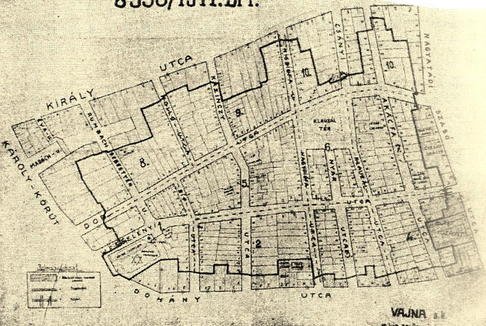
This street was the northern edge of the Pest ghetto. The order came on 29 November 1944, soon after the Arrow Cross, Hungary's fascist party, seized power, and the area was sealed off on 10 December. Sixteen streets were closed with wooden fences, and between them the boundary ran straight through existing firewalls and across courtyards, so from the street you could barely see it. Inside, more than seventy thousand people lived on less than a third of a square kilometre. The ghetto lasted forty-seven days. By 18 January 1945 Soviet troops were in the district.
The wall back here was considered for decades the last surviving stretch of that boundary. In 2005 it was finally pulled down for a new building project on the adjoining plot, and after protests at home and abroad it was rebuilt two years later. So what you're looking at is a reconstruction. In 2010 a memorial plaque was added to the front facade.
Whether this brickwork ever really was the ghetto boundary is now disputed. The map attached to the 1944 order drew a line through the district, not walls, which means there's no way to prove it for this one stretch. More recently, markers have been set into the pavement along sixteen streets to show exactly where the boundary ran. We now walk a few doors further, to a passage that strings seven courtyards together.
Any feedback for this story?