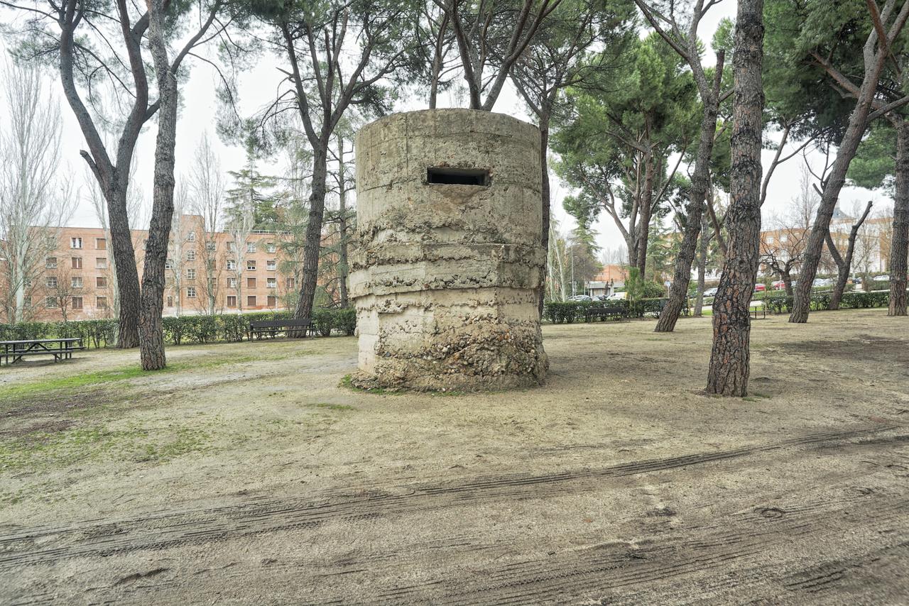
The front in the west
From this edge you look across the Parque del Oeste towards the Casa de Campo, and in doing so you're looking straight at the front. In November 1936 Franco's troops reached the far side of the Manzanares and stalled there, and from that moment the forward line ran a kilometre and a half from where you're standing. That made Madrid the only European capital with the front line inside its own city limits.
The hill in the distance is called Garabitas. That's where the artillery stood that shelled the city, and because those guns sat higher than Madrid they could reach the whole centre. In the Parque del Oeste below you the concrete bunkers and trenches are still there, overgrown but intact.
Stand here at sunset and you'll see what everyone sees, a panorama with the mountains behind it, while what lies beneath was no man's land for three years.
We leave the park on the north side and follow the Calle de Ferraz eastward.
Any feedback for this story?