The walls that took the river away
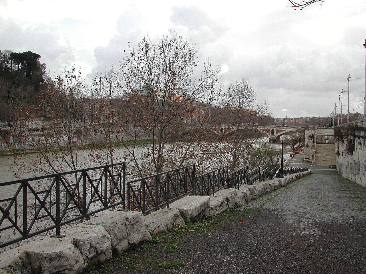
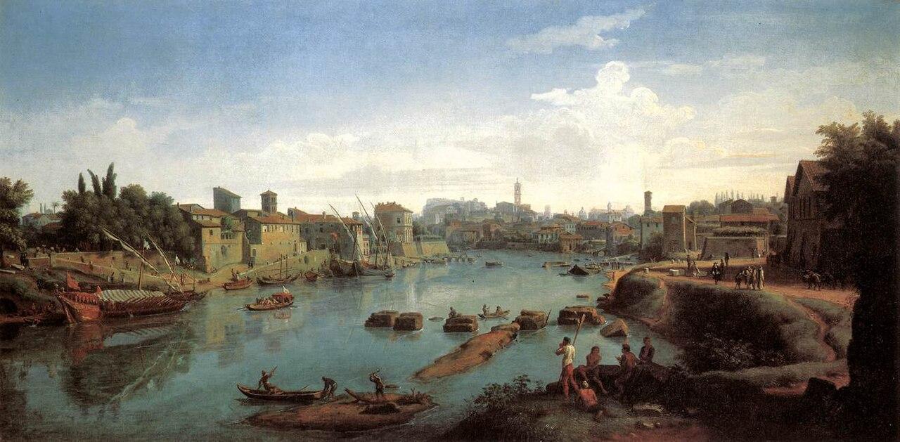
These tall embankment walls are younger than almost everything you've seen today. Right up into the nineteenth century, Trastevere ran down to the water with steps, landing stages and warehouses, and the Tiber was a working place: boats unloaded timber, wine and grain, mills floated on the current, and fishermen sold their catch at the quay.
In December 1870 the river rose so high that half the neighbourhoods stood under water. The young Italian state soon settled on a drastic fix, and from 1876 it built these walls of twenty metres with a straight channel running between them.
It worked, because Rome hasn't had a major flood since. The price was the riverbank itself: the harbour of Ripa Grande disappeared, the mills went away, and the city lost touch with its river. The plane trees along the quay were planted on top of it all later.
Thanks for coming along on this walk. You'll find more routes through Rome: the Jewish ghetto on the far side of the island, the Aventine with its hill of broken pottery and its famous keyhole, and the founding myth of Romulus and Remus.
Keep following the quay until the Ponte Sisto comes into view, carry on by the water to the steps, and you're back on Piazza Trilussa, where the fountain stands that had to move from its old spot during those same works.
Any feedback for this story?