De Leuvehaven
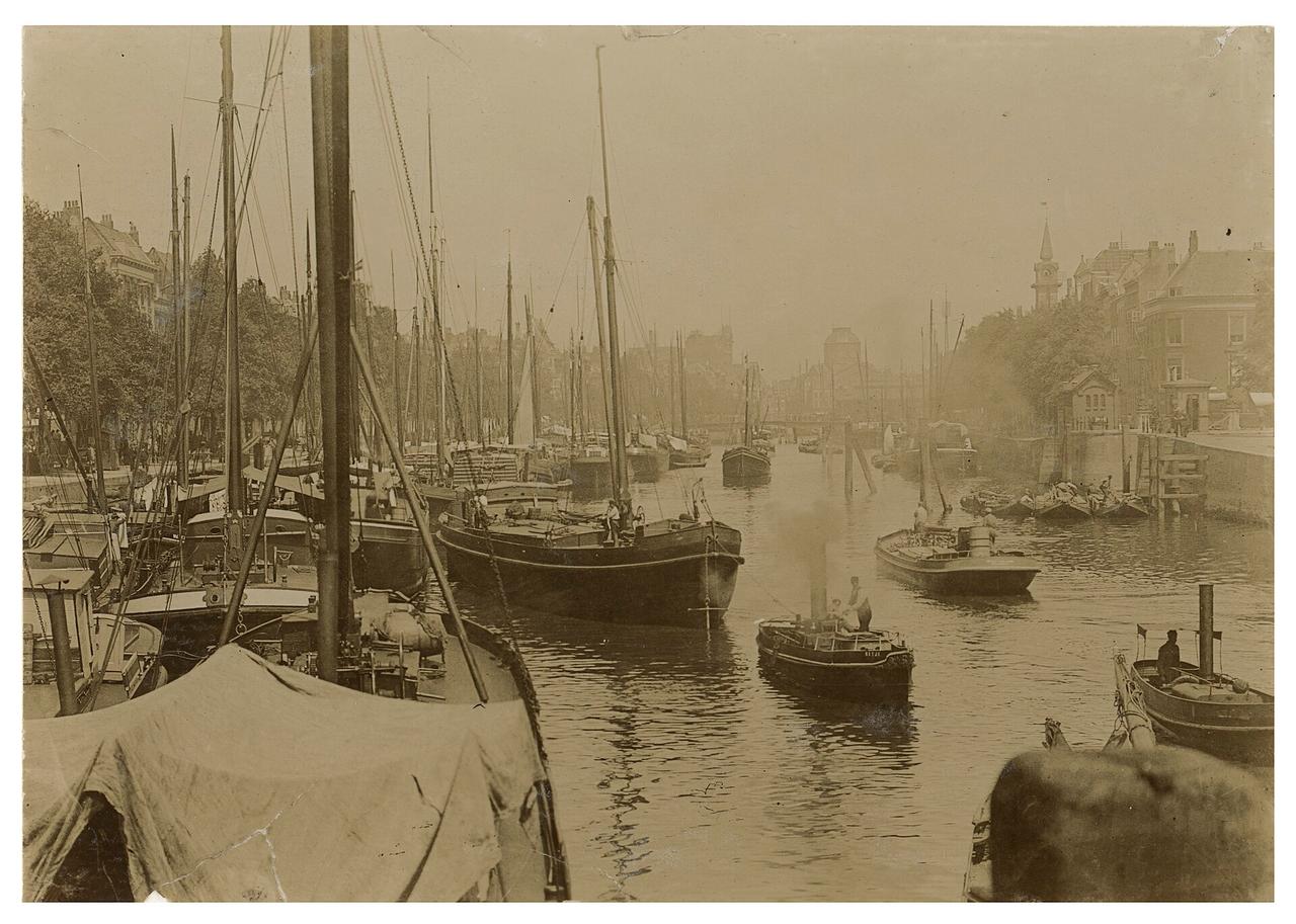
This stretch of water is older than almost everything you've seen today. De Leuvehaven was dug around 1600, and for centuries it was the place where ships unloaded right in the middle of the city, with warehouses lining the quay.
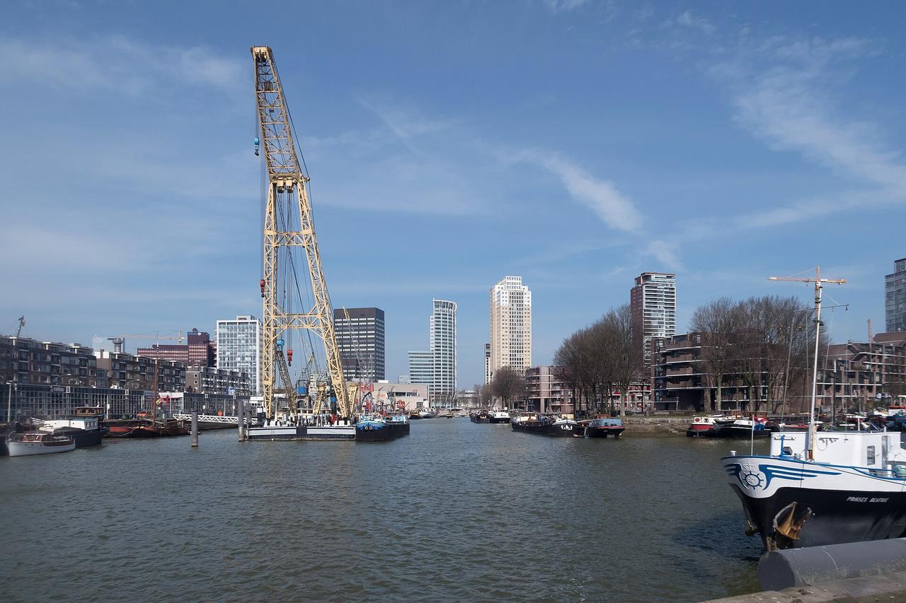
The Basisplan, the postwar blueprint for rebuilding Rotterdam, actually wanted it gone. Part of the harbour was filled in for new construction, and the rest would follow once the city needed the space. The reason the water is still here is that Rotterdam changed its mind halfway through and decided that a port city without a harbour in its centre is missing something essential. Since the eighties this has been a museum harbour with historic ships, cranes and inland vessels, and the Maritiem Museum sits at the head of it.
Among the ships you can see the balance that shapes the whole city: the masts rise to about halfway up the offices behind them, and it's exactly at that line that Rotterdam shifts from harbour into town.
The ships lie outside and you're free to wander past them; for the museum itself you'll need a ticket.
From the quay we head west along the Schiedamse Vest, past the Witte de Withstraat, until we reach a square where four streets come together.
Any feedback for this story?