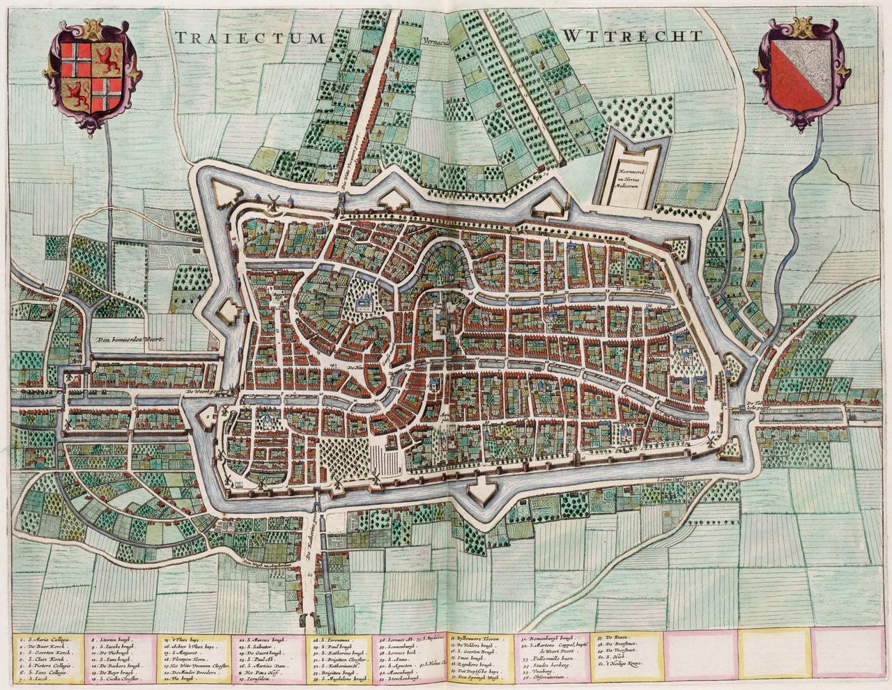
Why the Oudegracht Is Here
You are walking along water that exists because the city lost its river.
Utrecht grew up on an arm of the Rhine, and that arm was everything. It brought the ships, the trade and the money. But rivers shift, and this one silted up slowly. What had been a shipping route turned into a channel that barely carried anything.
In the twelfth century it became serious. Upstream, at Wijk bij Duurstede, a dam went into the Kromme Rijn, and with that Utrecht was cut off from the river it owed its existence to. The city did the only thing it could: it started digging. A canal was cut southwards to restore the link to open water, and the old river bed through the city was deepened and given quay walls.
That is what you are looking at. Not a moat laid around the city for defence, but a harbour straight through the centre, dug because nature had let the place down.
The argument over that dam ends in a brawl at the door of an imperial palace, and that is where we are heading. First past the city hall.
Any feedback for this story?