Bloemgracht
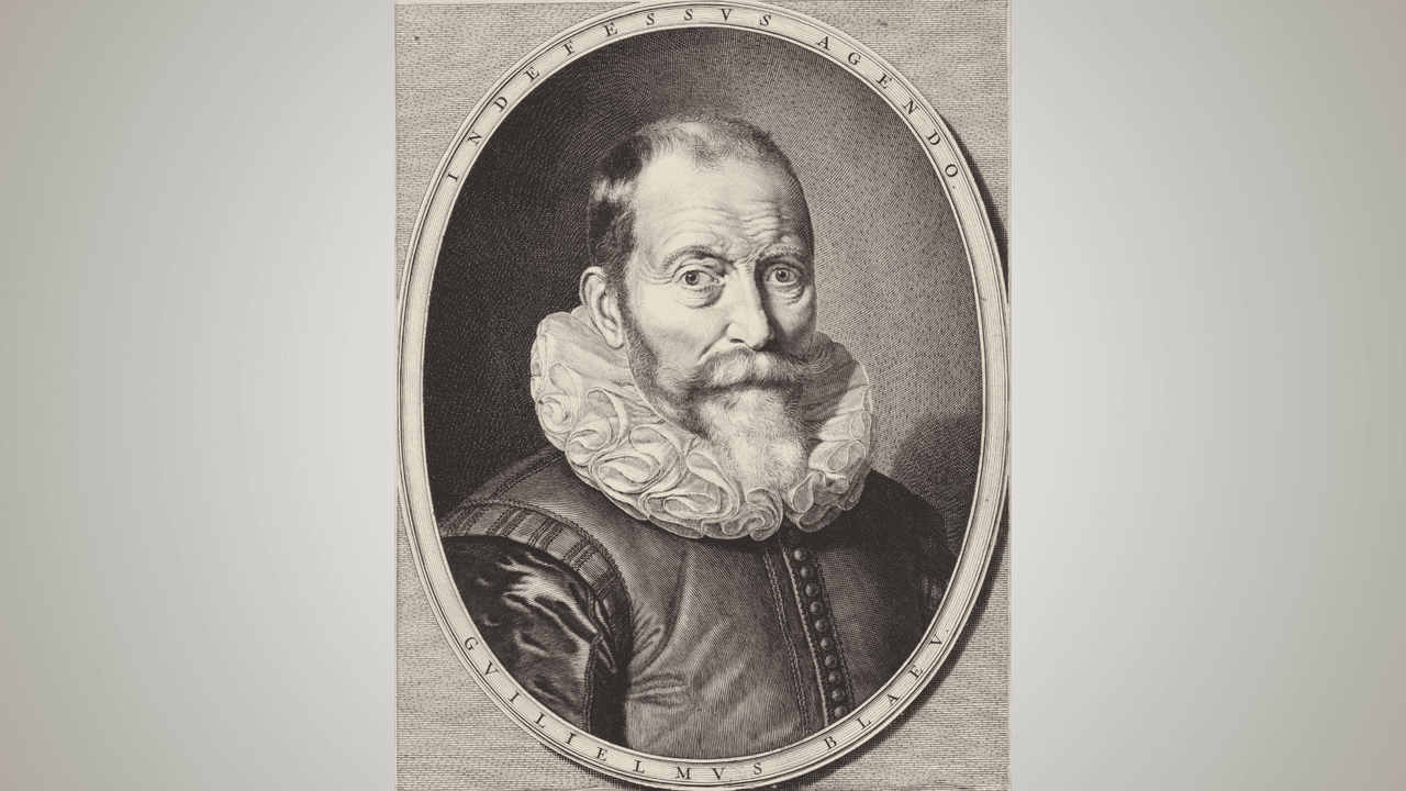
The most expensive atlas in the world was printed on this quiet canal, the oldest in the Jordaan, dug in 1615. The cartographer Willem Janszoon Blaeu had his printing works here and was obsessed with accuracy, so he gathered travel accounts, ships' logs and the stories of sailors who had just come home, and turned them into maps of the known world and of the parts still being guessed at.
His son Joan took over the business and opened a larger printing house on the same canal in 1637. That is where the Atlas Major was born: hundreds of maps, thousands of pages, and a price of 350 guilders, roughly a full year of work for most people.
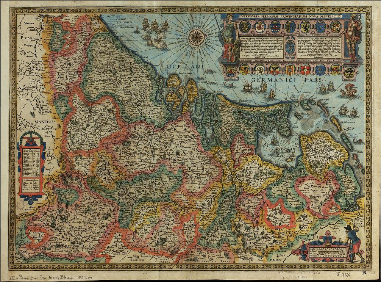
An early Blaeu map of the Netherlands comes with this story, and the country on it is almost unrecognisable, which shows better than any explanation how much land has been drained and added since. The narrow houses with their stepped gables along the water were already standing then.
We follow the Bloemgracht east to the Prinsengracht and turn left there, and the tower appears straight ahead of you.
Any feedback for this story?